Opinion
OPINIONS & PERSPECTIVES: When Africa Looks Small: The Politics of a Map

By Andile Nduna
15 September 2026 · 7 min read
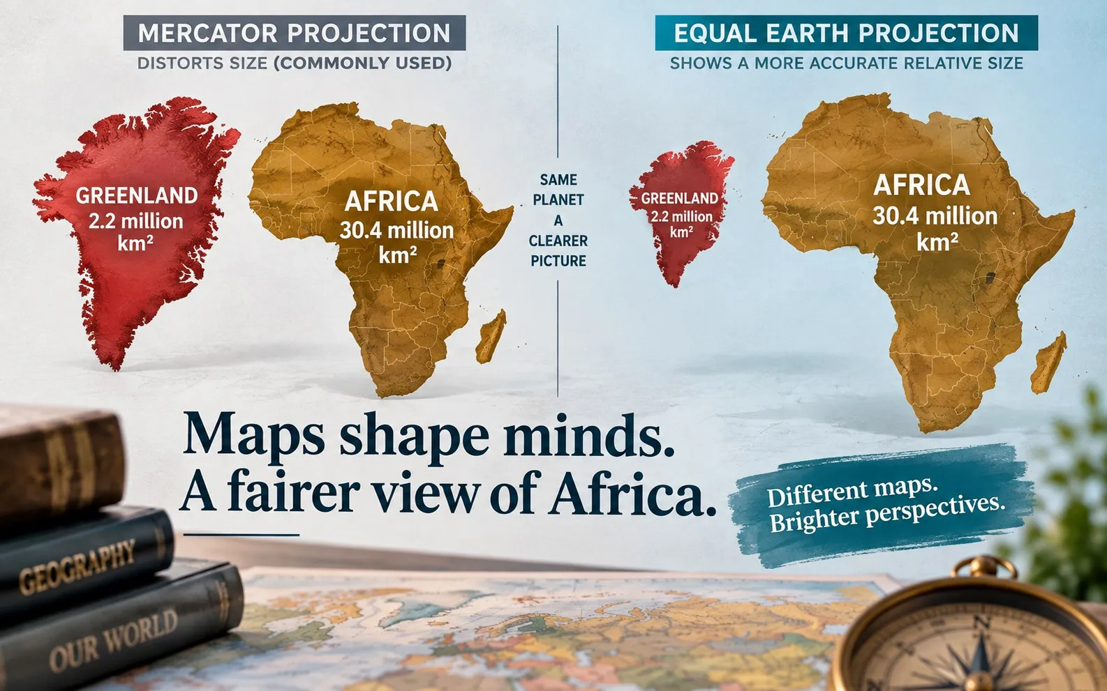
The problem is not that Mercator made Africa smaller. It is that we learned to see it that way. Now with the new UN resolution challenging distorted world maps, this invites an even bigger question: if we have been taught to see Africa as smaller than it is, what else about the continent have we been taught to underestimate?
There is something profoundly unsettling about discovering that the map, many of us grew up with, has been deceiving our eyes.
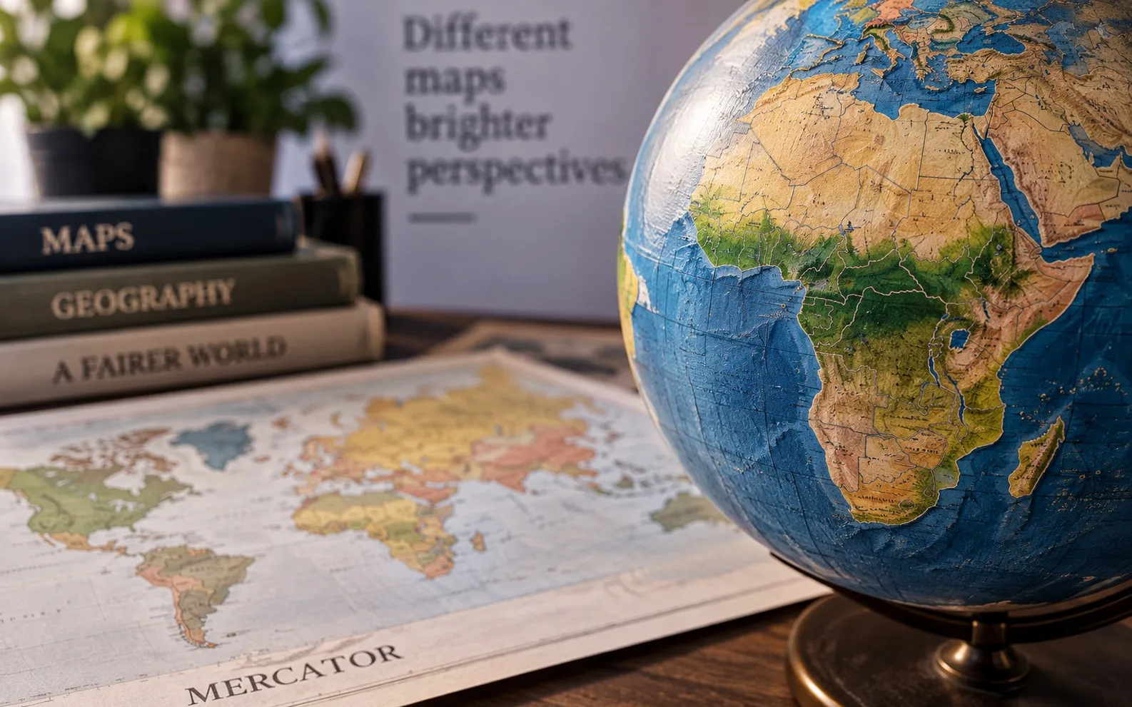
Not necessarily lying in its intentions, and certainly not in the sense that the continents themselves are misplaced. Rather, it has been presenting a particular version of the world, one in which Greenland can appear almost as large as Africa, while Africa, the world’s second-largest continent by land area, is visually diminished.
Africa is not small.
Yet for generations, millions of children have looked at maps in classrooms, textbooks, offices, newspapers and digital platforms and absorbed an image in which Africa appears considerably smaller than it actually is.
The reality is extraordinary. Africa covers approximately 30.3 million square kilometres, while Greenland covers about 2.2 million. Africa is therefore roughly 14 times larger. Yet on the familiar Mercator projection, the two can appear deceptively comparable in size.
The reason is mathematical.
The Mercator projection, developed by Gerardus Mercator in 1569, was designed primarily for navigation. It preserves angles and makes plotting constant compass bearings easier but increasingly distorts land area towards the poles. Strictly speaking, therefore, Mercator was not designed to make Africa look small. But that is not where the conversation should end.
The more important question is what happens when a projection designed for a particular technical purpose becomes the dominant visual representation of the world. That is where cartography becomes culture, and geography begins to intersect with psychology, history and power.
A map is not merely a technical object. It is also a way of imagining the world. This is why the United Nations General Assembly’s decision of 4 September 2026 deserves attention.
On that day, the General Assembly adopted resolution A/RES/80/307, “Correct the Map: Rebalancing Global Cartographic Representation and Promoting Equitable Representation of the World’s Regions, Particularly Africa”. The resolution was adopted by 164 votes in favour, one against and six abstentions. It encourages the use of equal-area projections, including Equal Earth, particularly where the relative size of landmasses is important.